

Understanding the Role of a Land Surveyor
Land surveyors play a critical role in shaping the built environment. From establishing property boundaries to guiding large-scale construction projects, they ensure accuracy, precision, and legal compliance in land development.
If you've ever wondered what land surveyors actually do—or whether it's a career worth pursuing—this guide will walk you through the responsibilities, tools, and industries where surveyors make an impact.
Why Is Land Surveying Important?
Surveying is one of the oldest professions, dating back to ancient civilizations. Today, it's more advanced than ever, combining cutting-edge technology with time-tested methods to support industries like:
- Real Estate – Ensuring accurate property boundaries for homebuyers and developers
- Construction – Providing precise measurements for roads, buildings, and infrastructure
- Engineering – Supporting major projects like bridges, pipelines, and public utilities
- Government & Legal – Assisting in land disputes, zoning regulations, and environmental conservation
What Does a Land Surveyor Do on a Daily Basis?
A land surveyor's work varies depending on the project, but most surveyors split their time between fieldwork and office work.
1. Fieldwork: Collecting Data on Location
- Marking property lines and boundaries
- Measuring distances, angles, and elevation changes
- Locating historical boundary markers
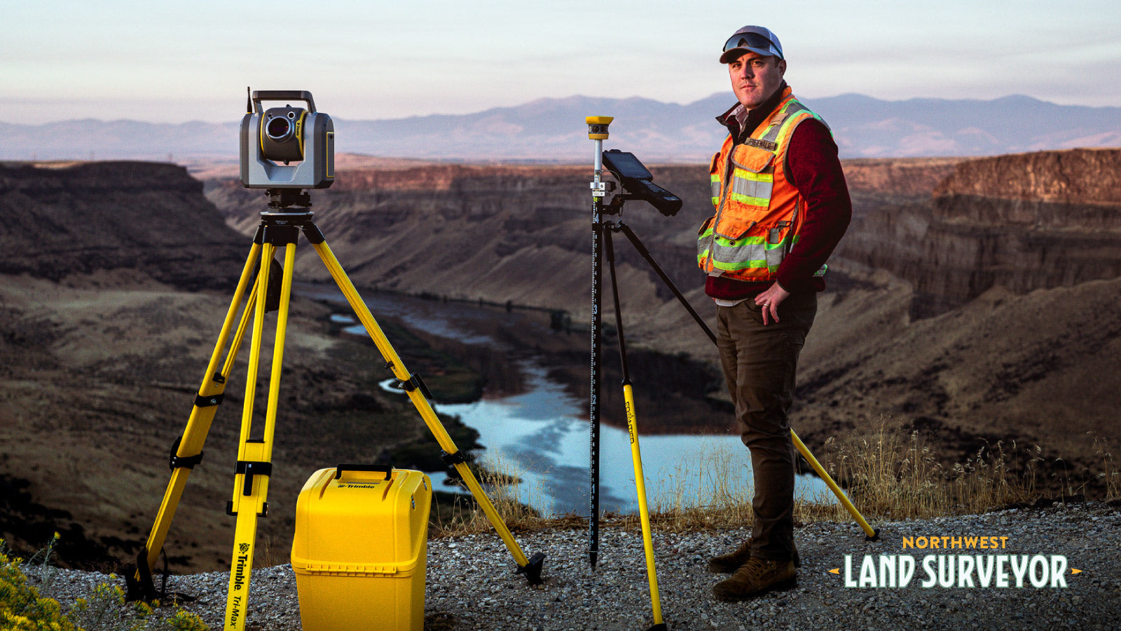
- Using drones, GPS, and total stations to gather precise data
- Clearing brush or obstructions to access critical survey points
2. Office Work: Analyzing and Interpreting Data
- Creating detailed maps and reports using CAD software
- Researching land records, deeds, and historical property information
- Collaborating with engineers, architects, and legal teams
- Resolving boundary disputes by analyzing historical data and survey measurements
Types of Land Surveying
- Boundary Surveying – Determines exact property lines for legal purposes
- Construction Surveying – Provides measurements for infrastructure projects
- Topographic Surveying – Maps out natural and man-made features
- Geodetic Surveying – Measures large-scale land areas using satellites
- Hydrographic Surveying – Maps underwater terrain for marine construction
What Tools Do Land Surveyors Use?
- GPS & GNSS – Provides highly accurate location data
- Total Stations – Measures angles and distances precisely
- Drones & Photogrammetry – Captures aerial images and 3D mapping
- AutoCAD & GIS Software – Processes data and creates detailed maps
- Historical Land Records & Deeds – Helps verify legal property boundaries
How to Become a Land Surveyor
Interested in a career in land surveying? There are multiple pathways to enter the field:
- Start as a Surveying Technician – No degree required, gain hands-on experience
- Pursue a Degree – Land surveying, civil engineering, or geomatics
- Obtain Licensure – State-specific requirements apply
For more details, check out our guide: What Type of Person Should Become a Land Surveyor?
Final Thoughts: Is Land Surveying Right for You?
Land surveying is a high-demand career that offers a mix of outdoor work, problem-solving, and cutting-edge technology. Whether you're interested in construction, real estate, or environmental conservation, surveying plays a vital role in shaping the world around us.
Looking for more career options? Check out our guide on Outdoor Jobs That Pay Well.
Want to learn more? Explore your career path in land surveying here.